Vertical electrical soundings (VES)
Electrical resistivity is one of the parameters of the terrain that in our geophysical services we use for the differentiation of lithologies in the subsoil. This can help identify foreign bodies in a more or less uniform environment.
Obtaining the distribution of this parameter is one of the fundamental objectives of Geophysical Prospecting . To try to meet this goal there are numerous devices and methodologies that are applied in different fields
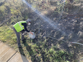
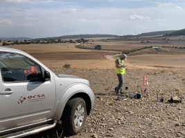
Geophysical technique called Vertical Electrical Sounding (VES) is related to a purpose that seeks to determine the vertical distribution of resistivities terrain under investigation. For this method measurements are made in DC, and the results are compared with the common resistivities of different materials.
Examples of resistivity of common geological materials
| Geomaterial | Resistivity [Ωm] |
|---|---|
| Clay | 1–20 |
| Wet sand | 20–200 |
| Shale | 1–500 |
| Porous limestone | 100–103 |
| Dense limestone | 103–106 |
| Metamorphic rocks | 50–106 |
| Igneous rocks | 102–106 |
In general terms, it is a question of creating an electric field by injecting DC into the ground to be studied through two electrodes (usually called current electrodes A and B), and studying this field with the use of two other electrodes ( Called potential electrodes M and N). The resulting electric field will depend, among other variables, on the distribution of resistivities of the subsurface structures, the distances between the electrodes and their relative arrangement and the injected current.
Following the standard ASTM-D6431 for the use of the DC method, we can select between the different combinations of the relative positions of the four electrodes mentioned, the most usual is that of the so-called VES Schlumberger. Schematically, this methodology responds to the following configuration:

Where the electrodes are aligned, the distance AM is equal to the NB and the distance MN must be very small compared to the AB (in the calculations it is assimilated to a point). The successive measurements are obtained by gradually separating the current electrodes A and B; The greater this distance the greater the depth of investigation.
The higher efficiency of the method corresponds to the case in which the SEVs are carried out on a ground composed of laterally homogeneous layers with respect to resistivity and bounded by planes parallel to the surface of the terrain (stratified medium). Experience has shown that the theoretical results obtained for media of this kind are tolerably valid for strata inclined up to about 30 °. For greater inclinations or lateral changes, it is preferable to use Electrical Tomography.

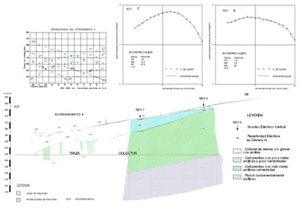
Applications of vertical electric soundings
The VES geophysical technique is used in hydrogeology projects for the location of geological structures that can function as aquifers, such as coarse-grained detrital, karstified limestones, etc.
In geotechnical projects, SEVs are used for the definition of geological structures that are differentiable due to their resistivity. As for example alluvial, marls under limestones (structure not detectable with refraction seismic due to reversal of velocities), delimitation of areas of "loans", etc.
These resistivity measures for Electrical Grounding are essential in any geotechnical study of an electrical installation.
In mining the detection of mineral masses that respond by their resistivity contrast is one of its main uses. As well as the study of quarries.
Examples of vertical electrical surveys
VES geoelectric recognition to hydrogeology
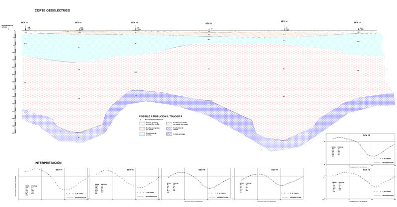
Geoelectric recognition with VES for works in a reservoir

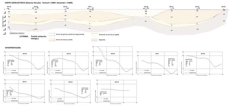
Geoelectric recognition with VES in a ligniferous basin