Seismic in aquatic environments
Within our geophysical services the recognition of the materials that make up the seabed, rivers, lakes and swamps is carried out by means of various techniques, each of them providing different types of data that help to characterize and define the geology of these funds, both in their surface and in depth. The most frequently used are:
- BATIMETRY
- MONOCHANAL REFLECTION SEISMIC
- HIGH RESOLUTION REFLECTION SEISMIC
- SIDE SWEEP SONAR
- MAGNETOMETRY
- METAL DETECTORS
- TAKING OF SAMPLES THROUGH SPOONS, VIBRES, ETC.
- PHOTOGRAPHS AND SUBMARINE VIDEOS
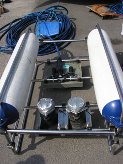
One of the first problems that arises in these geophysical techniques is the georeferencing, for the later representation of the acquired data in a topographic base. Therefore it is necessary and vitally important:
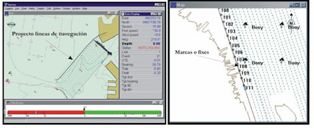
A navigation program: Using differential GPS (or other technique) to place at any time the position of the boat and the sensors it carries
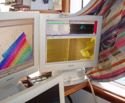
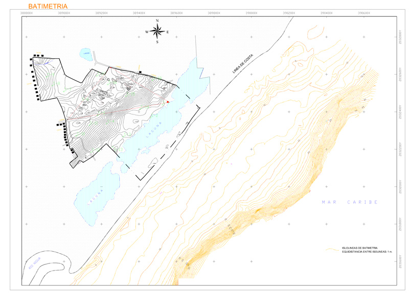
An example of its results can be seen in the following figure:
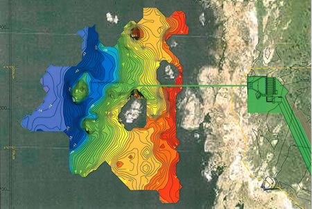
THE BATIMETRY: will provide data on the depth to which the seabed, river channel, marsh, etc. is located.
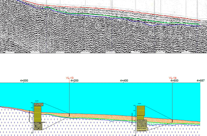
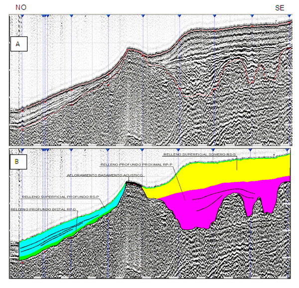
MARINE SEISMIC REFLECTION: is generally a single-channel seismic reflection, which provides differentiation of the different layers of soil beneath the seabed, river, swamp, etc., by their different acoustic impedance (density * velocity) and has a limited depth of research
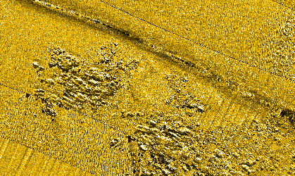
THE sidescan sonar: provides background sonography, which identifies the nature of the surface of the respective fund (sea, river, swamp, etc.) and make mosaics:
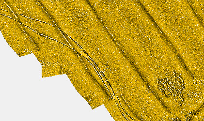
Part of sonography of a lateral scan sonar profile
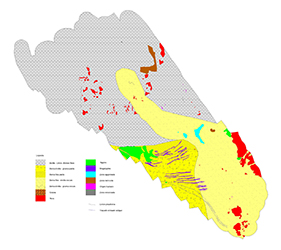
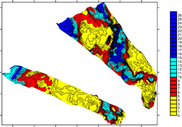
Part of a mosaic built from several profiles. Y morphological map and isopacts of unbound sediments
Applications
For the study of the geological-geotechnical characteristics of the funds in: port works of all kinds, underwater emissaries, dredging, underwater installations (artificial reefs, etc.), works control, beach regeneration, underwater archeology works, biological works , Works of underwater geology, study of wetland filling, environmental studies in rivers, etc.
Examples
Study of a coastal zone
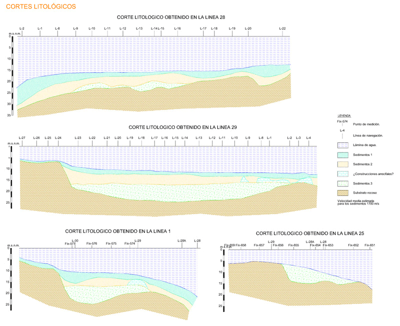
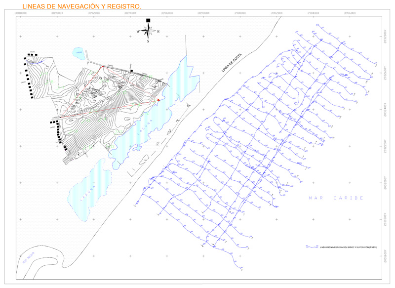
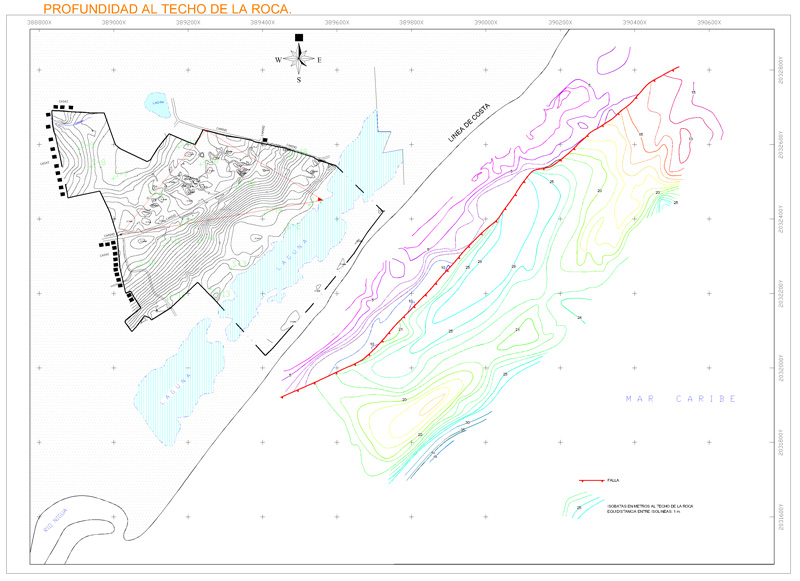
Section and cut of a study for an underwater emissary