
Geophysical methods of seismic waves
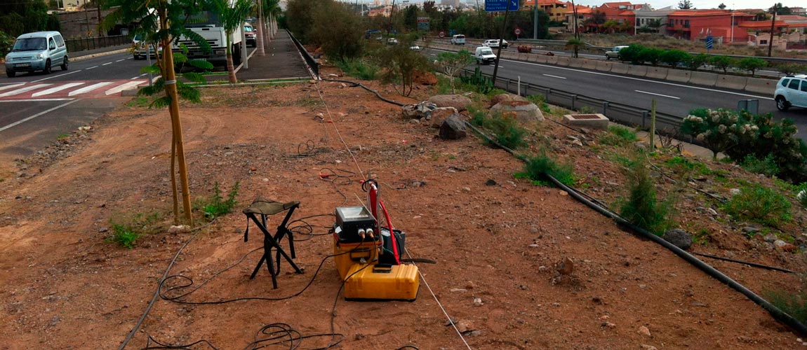
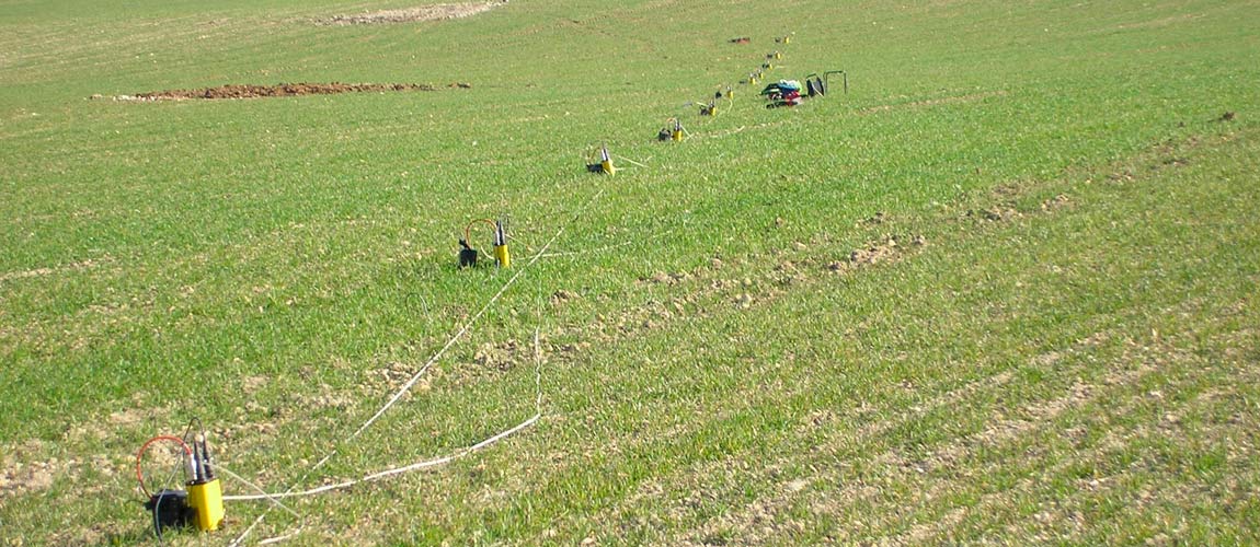
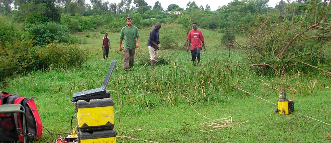
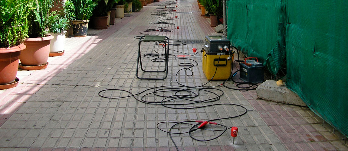
For our geophysical services we use the seismic techniques, which are based on the study of the propagation of elastic waves produced by an artificial power source (hammer, explosive, etc.) through the subsoil and detected on surface or in boreholes by a series of sensors (geophones, etc.). ). With these studies an image of the terrain is obtained on the basis of the elastic properties of the materials that constitute it and, therefore, the geometry of geological structures in depth is deduced.
These techniques are applied to investigations that allow obtaining: subfloor morphologies, compaction and fracturing of materials, measurement of sísmoelastic parameters used in Civil Engineering, Geotechnics, etc.
In its use in civil engineering the methods of refraction, reflection, downhole, crosshole, MASW and REMI are often used. The former are active methods that require an artificial power source that generates seismic waves, and the REMI is a passive method, in which the vibrations generated, fundamentally, by human activities are recorded and analyzed.

Seismic reflection
The high resolution seismic reflection applied to geotechnical and hydrogeological studies is one of the most powerful geophysical tools for the study of geological formations in the first 700-1000 meters depth (adjusting the device and choosing a source of Adequate energy could be reached up to 2000 m depth).

Seismic refraction
Refraction seismic is possibly the most used geophysical technique in Civil Engineering for the study of the most superficial layers of the subsoil, in order to define the alteration of the materials that compose them, detection of faults and / or fractures, zones of Possible landslides, location of landfills, etc.

Masw - Remi
The methodology of the ReMi passive seismic technique is based on the SASW (Spectral Analysis of Surface Waves) and MASW (Multichanel Analysis of Surface Waves) techniques that extract from the spectral analysis of the surface seismic waves an estimate of the variation of the Velocity of propagation of the waves S, Vs, with the depth.

Downhole
The downhole test is performed to obtain the dynamic elastic modulus of the terrain, traversed by a sounding, from the measurement of the velocity of the primary, P, and secondary waves, S (SH, vibration of the particles in the Horizontal direction), along the vertical of the survey.
Crosshole
The crosshole test yields the primary, P, and secondary wave velocities, S (SV, vibration of the ground particles in the vertical direction) along direct paths between two points located, each in the Inside a sounding, at the same depth. In one of the probes the energy source is located (emitter probe) and in the other the well geophone (receiver probe).

Sísmica Marina
The techniques used are similar to reflection and refraction, with the conditions that the aquatic environment contributes. Providing information on the seabed and sub-sea.